Today we will attempt to climb to the peak of Mount Cameroon, which is over 4,000 meters high. We are up early, shortly after 4 AM, so that we can get an early start on our hike and get to the peak as soon as possible. It is a cold morning and it is very difficult to muster the courage to get out of the warm sleeping bags to get dressed in the cold morning air. We pack up our stuff, get organised, and are off on our way by about 5:30 AM.

As it is still dark, we need to use our torch's to see the way (on the way down, we note with interest some of the trail that we had walked on - a small mis-step and we would have fallen down some deep gullies!). The hike from Hut 1 to Hut 2 is the most difficult part of the climb - it seems like it almost goes straight up for 1,000 meters. We cover an amazing amount of vertical elevation in a short horizontal distance.
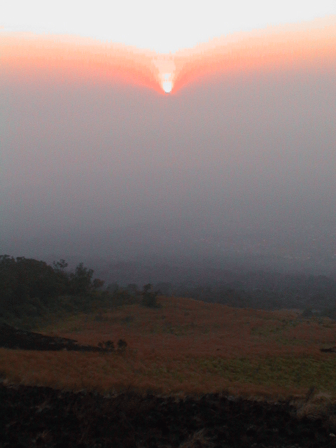
Jacqui had woken up with a headache, and as we walked up, she started to feel worse - headache, dizzy and nausea. We had to take it slow on our way to Hut 2. On our way up, the sun began to rise over the horizon. It was a wonderful sunrise that we had on the mountain. At this time, the environment also began to change from rain forest to sahel, with long grass and no trees. The trail is quite rocky as it is made of volcanic rock that has broken up. We had to take it carefully as we walked up this steep section.
We struggled up to Hut 2, where we took a break of about one hour as we waited for the rest of the group. Jacqui started to feel better with the rest, so she was still considering whether or not she should climb all the way to the peak. At 9:30 AM, we head off. After a short way, Jacqui begins to feel worse, so she decides to stay at Hut 2 (a very wise decision, as altitude sickness can be very bad).
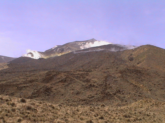
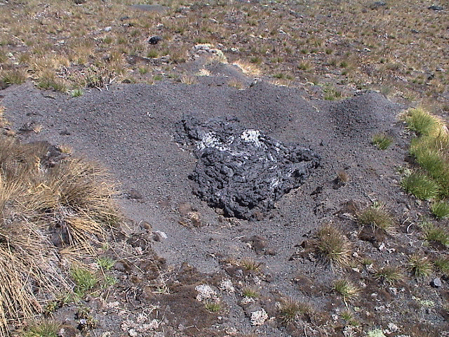
It is a steep hike up to the final main ridge, at which point we are finally able to get a view of the peak and the smoking crater. It is then a hike along a slightly inclined plateau to Hut 3, where we will make the final assault on the summit. Along the way here we see the results of the recent volcanic explosion in 1999. There are numerous small volcanic missiles that have hit all over the area, creating mini craters with super heated material along the edges of the crater. Along the way, I have gotten a bit ahead of the group, so I find a nice spot in the sun, but out of the wind, where I have a lay down for half an hour. It is wonderful. Along the way we also had the chance to see lots of flowers and a few birds.
At Hut 3, where we arrive at noon, there is a hole in the roof of the hut which was created by one of the stones thrown from the recent explosion. We wait half an hour for the last members of the group (we have to show them which way to go as the original trail is now cut off by the recent crater), and then head off for the summit. It takes us about 45 minutes. While it is not too difficult a walk, it has gotten harder to breathe due to the altitude. We reach the summit at 1:10 PM. I have walked all the way up in t-shirt and shorts, but due to the strong wind and the inactivity, I put on a fleece vest and wind breaker.
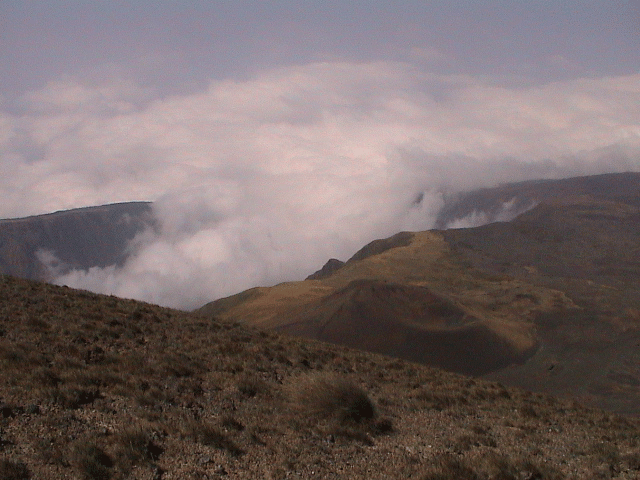
After spending some time at the summit looking around, a few of us go and walk over to another ridge where we can see down into one of the other craters - the guide seemed to indicate that it was one of the original craters. It is full of smoke (or clouds - not sure). It is another great view.
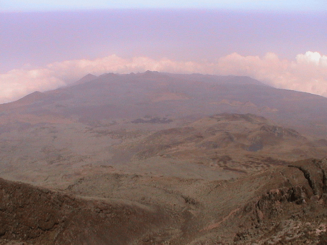
We then head back up to the summit to pick up our stuff and for one look around. We have been very fortunate with the weather - we have clear views in all directions - only a bit hazy. We head on down at 2 PM. It is a lot of fun going down at first as we run down the scree. We get to Hut 3 20 minutes later and after cleaning the stones out of our boots, continue on our way. We take full advantage of the downward slope and are at Hut 2 by 3:40 PM. It was not too bad a walk - no real strain on the legs or knees. But I am glad that I am not carrying on down this same day to the bottom - that would be too much.
Jacqui is not doing to well - she has been in bed all day with the headaches and dizziness. She also has fever. I take it easy for the rest of the afternoon. Dinner is soup and pasta. After hanging around the fire for a while, it is off to be around 8 PM. Tonight we are sleeping in one of the rooms and it is a bit crowded and stuffy. There are also a number of people snoring, so it takes some time to fall asleep.